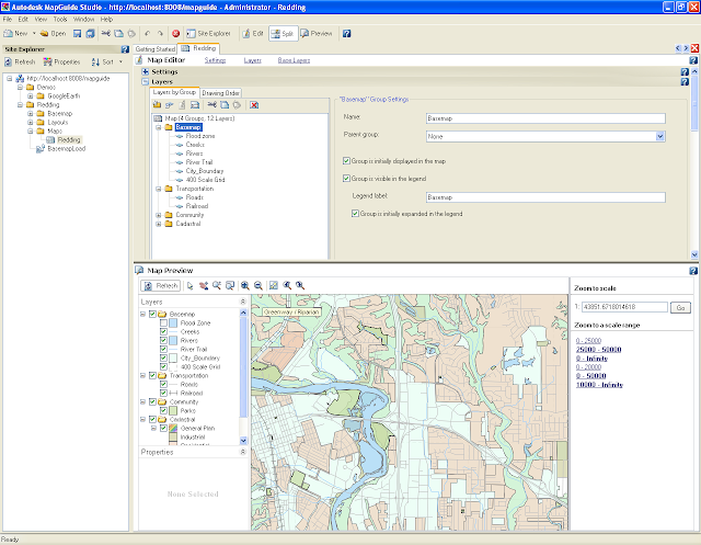
Aplikasi Peta Open Source is a web-based platform that enables users to
develop and deploy web mapping applications and geospatial web services.
MapGuide features an interactive viewer that includes support for
feature selection, property inspection, map tips, and operations such as
buffer, select within, and measure. MapGuide includes an XML database
for managing content, and supports most popular geospatial file formats,
databases, and standards. MapGuide can be deployed on Linux or Windows,
supports Apache and IIS web servers, and offers extensive PHP, .NET,
Java, and JavaScript APIs for application development. MapGuide Open
Source is licensed under the LGPL.
Features
Requirements
Getting Started
Live Application Gallery
- MapGuide application using the Web Extensions APIs
- http://data.mapguide.com/mapguide/phpviewersample/ajaxviewersample.php
- Demonstration of MapGuide integration with Google Earth
- http://data.mapguide.com/mapguide/DynamicKml/GoogleEarth.php
- demonstrates the integration of external database searching tools with MapGuide Open Source
- http://mapguide.spatialgis.com/mapguide/spokanemaps/
- If you have Google Earth installed
- http://mapguide.spatialgis.com/mapguide/GoogleEarthDemo
- GISkit also offers a service for local governments to publish their maps to the internet using Mapguide Open Source
- http://www.giskit.nl/
- Pacific Alliance Technologies, to demonstrate Web GIS using MapGuide Open Source.
- http://demo.pat.ca/pacificMGE
- scripts and API code samples for MapGuide
- features 3 generic tasks


